It can be tempting to pit the advances of technology against the integrity of humanity. To assert that the more reliant we are on data, computer programming or smart phone applications, the less we’re apt to see or empathize with one another, the less we’re capable of understanding what it means to live beyond the numbers. But looking at the work of Josh Begley, a Brooklyn-based data artist and web developer, you realize that such dichotomies don’t really hold. In fact, Begley’s work in programming, mapping, sorting, and accessing images through both open and surveillance-based sources often has a surprising and significant emotional effect. What’s clinical on the surface can be quite emotional in subtext. A mass accumulation of images doesn’t have to inure us to the risks and costs of living in the modern world, but can in fact convey those realities in new and compelling ways.
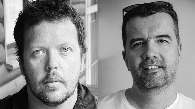
Accustomed to working with still images for publications such as Wired, The New York Times, The Atlantic, The Guardian, and New York Magazine, and for installations at the likes of the New Museum of Contemporary Art, his first film, Best of Luck With the Wall, debuts today on Field of Vision. As stated in the film and described in the following interview, Josh and a team of collaborators collected hundreds of thousands of satellite photographs of the border between the U.S. and Mexico and presented them as a single, continuous, often furiously active aerial tracking shot from the Pacific to the Gulf of Mexico. Reached by phone very shortly after completing the film, Begley talks about the complex process by which the information was gathered and presented, and how this collection of data can be a vital rebuttal to how this border has been discussed in contemporary politics.
Let’s start with where this idea came from. Considering the climate of the current U.S. presidential campaign, I would imagine it’s at least partly instigated by current events.
Begley: The project started from a really simple place. It was about looking. It was about a desire to understand the visual landscape that we are talking about when we talk about the southern border of the United States. What does the southern border of the United States actually look like? In that sense it was a very simple gesture—to try to "see" the border in aggregate.
Building off the word you just employed, how do you determine what gesture to employ to accomplish this?
Begley: It may not be the best way, but this is a snapshot of a process—of looking, and trying to understand the entire geography of the border. I think that there’s a way in which, with the rise of the Donald [Trump], that space is not even a geography anymore. That space has been reduced to metaphor. So the simplicity of the gesture is about insisting on that geography, and simply looking at this vast landscape that gets reduced to a sound bite about building a wall. And if you think about a wall, a wall is just a border brought into 3D relief. So tracing that entire space, as a viewer, allowed me to think in a little more detail about what that actually means.
What do you mean by snapshot of a process?
Begley: I can remember having a conversation with a friend of mine who is a professor at UC Berkeley, and we were talking about a few projects I’ve done—about visualizing prisons and military bases across the U.S.—and trying to think constellationally about some of these landscapes. And he said looking at the southern border might be a good place to start. So it’s a snapshot of a process because I couldn’t have told you [beforehand] that more than half of the southern border was river. I would have told you it was a very straight line. I think of myself as someone who spends a lot of time looking at maps and satellite imagery, and yet I had such a distorted sense of our southern border.
In what capacity are you often looking at satellite imagery and maps?
Begley: I do that to try and situate myself in the landscape. We live in a moment where we can pull out our phones and see through satellites, and what the maps application always does is puts us at the center of the map. And I think that there are some good things about that and some not so good things about that. So I look at maps as a way to orient myself. I also believe maps are instruments of power. Trying to understand the process that goes into making a map can be a useful entry point to try to think about power. And about what the nation state means.
How have you incorporated mapping in your other work?
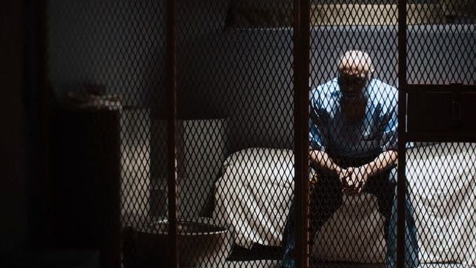
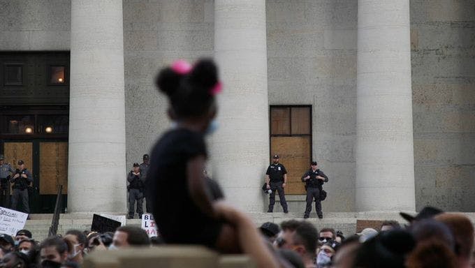
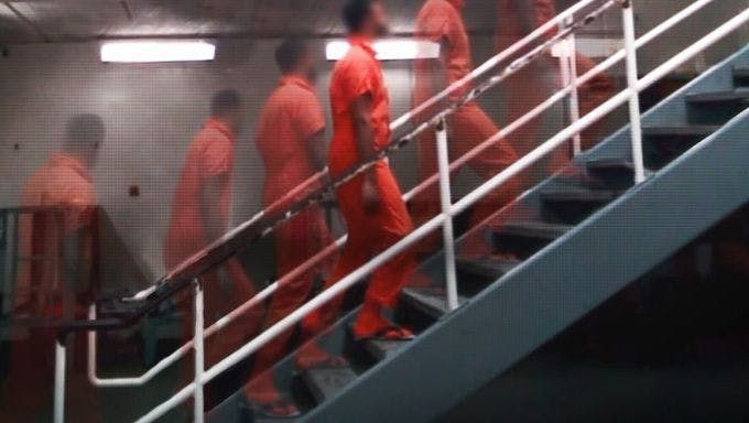
Begley: I have a couple of projects that are smartphone centered. One of them is about mapping the geography of places around the world where the CIA carries out drone strikes—mostly in Pakistan, Yemen, and Somalia. Another was about looking at the geography of incarceration in the United States—there are more than 5,000 prisons—and trying to map all of them and see them through satellites. I currently have an app that is looking at the geography of police violence in the United States. Most of these apps are about creating a relationship between data and the body, where you can receive a notification every time something unsettling happens. What does that mean for the rest of your day? How do you live with that data—data about people? In some cases the work grows out of these questions, but in other cases the work really is about landscape.
And then Best of Luck With the Wall grew out of that?
Begley: This project is about the collapsing of time and space that can happen when you sequence a bunch of images together. Jonah Greenstein, the motion graphics editor, did a whole lot of work around really trying to compress distance as you travel across the border. When you get into New Mexico, the border kind of breaks apart in a way and that is its own manipulation of time, and it maps to the border fence. It’s not a contiguous line—it appears and disappears at different points throughout the landscape for various reasons. The film pulls apart the border and insists on it being a noncontiguous thing. People are in the desert right now walking around the fence. The fence is a digital fence, and there are blimps and drones and face recognition [applications] that create a digital wall. It’s one of the most surveilled spaces in the country. Some people would argue a physical wall isn’t even necessary. Part of the process of stringing this all together is meant to rhyme with the noncontiguous nature of the existing wall.
There’s the title card at the beginning and the title card at the end to let you know the concept and the terms of the piece. It’s a strong and simple idea and provocation. But it doesn’t give you a sense of what it’s like to watch it, because what unfolds is this mysterious, entrancing, illuminating film. How did it evolve aesthetically, sonically, and temporally?
Begley: I wrote a computer script to download all of the images in the first place, and part of my curiosity in doing that was seeing where there is imagery and where there is not. The highest resolution imagery tends to map to the most populated areas. Which is its own statement about the peculiarity of satellite imagery. Most of the images we have in the public domain, such as from Google Maps, are in response to someone already having purchased that imagery. There are sections in the rural parts of New Mexico and in Texas where the resolution of the imagery is actually really low. In some cases the speed of the film does map to the resolution of the images. Since the goal of the piece is to attempt to "see" in aggregate, in the editing we made the choice to skip through some of the lo-res images and focus in on the high-res images. It was about showing the differences in the landscape, and letting the entire border fly past you and see where your mind goes on that journey.
You’re defined by the length of the border, but you could approach it at any speed. Why six minutes? It’s almost like a song.
Begley: We captured the images at four different zoom levels from Google Maps, and Jonah was able to interpolate this collection of 50,000 images at each zoom level, essentially 200,000, to allow viewers at each different zoom level to travel the border in about two hours. To allow a seamless, slow crawl. There are certainly other lengths we were playing with. Some really long, or really short. This is probably the most compressed version that will exist but I think there also may be an installation or gallery version where we can be even more creative in terms of soundscapes. It would allow people to sit with the border even longer, and feel how long and vast this landscape is. This [version] is a response to where people’s attention spans are on the Internet—though most of the videos I watch are ten second Snapchats, so this may be long for some people.
In terms of the music, did Jace Clayton (DJ /rupture) record the piece live, or was it produced over time?
Begley: There were elements of the soundscape that he was playing live. He’s a sound artist who makes software and open-sources it, so much of his work enables him to do live manipulation in certain contexts. That’s one of the places he naturally gravitates towards.
It certainly comes across that way. Your whole team here is obviously far advanced in terms of utilizing modern technology to create what’s being visualized, but is what you’re doing related at all to the fundamental construction of cinematic images? Is one image replacing another and creating the illusion of motion?
Begley: It is. One of the things I was thinking about when I was first beginning this project was Rebecca Solnit’s River of Shadows, which is her book about Eadweard Muybridge. That was the first place my mind went. I have this methodology of pulling stills from these discrete geographical coordinates, and then I thread them together. It is a motion study of the border, in that sense. It really is comprised of still images sourced by Google Maps. This is my first film, and film is not always the first place I go. So thinking about animating static images and turning them into something that can be watched as a motion picture is really exciting.
It’s amazing how you can be working with this very current technology and yet in moving from static to moving images evoke the origins of cinema. Is each image distinct from another? Or do any of the images involve information from the previous image—meaning are the edges of frames overlapping, thus making the illusion of motion smoother?
Begley: That’s one of the things we experimented with early on: how far apart do the geographic coordinates need to be to create the sense of smooth motion. There are certainly versions of this that are much more jittery and there are versions that are too smooth—that was part of the learning process. If what I’m usually working with are these coordinates that map to latitudes and longitudes, how do I essentially do the math and create a straight line that feels like a straight line—as it would be if you were a bird or a satellite? Trying to reverse engineer the computer scripts was one of the interesting parts of the project.
Were you scrutinizing individual images one by one at any point?
Begley: Absolutely. Very early on, the project was going to be a collection of stills. Different parts of the border and looking at it through still images. Then it got to a point where we were getting closer and just decided to see if we could do the whole thing and make it worth watching. And then we went down that rabbit hole. It did begin as pulling one image at a time and playing with motion came last.
Do you feel compelled now to walk along this border in a physical way?
Begley: Very much so. It’s been a strange way to get to know a space. And there’s just so much you can never know from looking at satellite imagery. By definition it flattens and distorts things. A lot of folks who fly drones, for instance, think they know a space just from looking at it from above. I firmly reject that idea. The bird’s eye view is never what it means to be on the ground somewhere, or what it means to have meaningful relationships with people on the ground. I feel like I can understand the landscape from 30,000 feet, but it is not the same as spending time in a space. And there are many cities and towns along that border that I’d like to spend time in.
When documentary filmmakers make a film about a particular region, they often want to take the movie to the people of that region and have them see it, straight off. It would be fascinating to do the same with a film like this. You don’t have characters or subjects in the same way, but it would still be interesting for people along that border to see their space in this way.
Begley: Wherever you live, it appears so drastically different on satellite images than it appears in your mind or in your everyday experience. It does flatten and it does distort. The more I look at satellite imagery, the less interested in it I am. I know that’s a strange thing for someone like me to say, but it actually produces more distance between the viewer and viewed than it does closeness.
Does it grant a false intimacy?
Begley: I think so. This film frames the entire southern border in six minutes. You can never see the entire southern border in six minutes. But even in that small [timeframe], perhaps it’s more than what one sees when reading a headline about building a wall.